While the overall summer extent of sea ice is trending toward a record minimum this year, but some places are not changing very much.
After the drama of iceberg A68, it is important to remember that the break up of ice sheets and flow of glaciers is highly variable. So, we note that, unlike the famous A68, Iceberg B-22 has gone nowhere in the last decades [2]. This is not to say that the Thwaites Glacier is not melting, in fact it is shedding a lot of ice in smaller, unnamed chunks—just like other parts of Antarctica. While the overall sea ice is near record low this year, not every big chunk goes wandering.
At the other pole, we have seen record and near record summer sea ice. We have also seen record low winter extent of sea ice in the north–except in the Bering Sea between Siberia and Alaska [4]. This year has actually seen more than average sea ice coverage in the area.
One reason is that local wind and weather can have a bigger effect than background trends. This year, a period of cold weather in February rapidly iced up the Bering Sea. Obviously, the weather could change, and the ice will change.
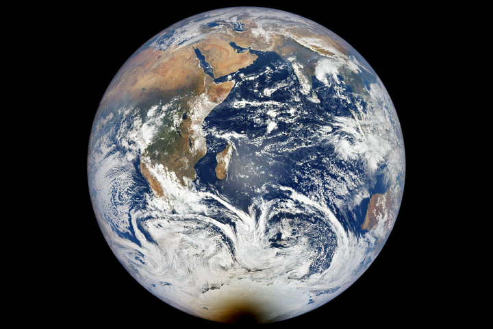
These variations and local cases reflect that the planet is large and the oceans and atmosphere are complicated. All the more reason to worry about the clear and consistent warming of the planet and melting of the ice.
It takes a lot to actually create the kind of warming trend we have seen, and it will take a lot to moderate that trend.
- Henry Fountain, Sea Ice Around Antarctica Reaches a Record Low, in New York Times. 2022: New York. https://www.nytimes.com/2022/02/23/climate/antarctica-sea-ice-arctic.html
- Kathryn Hansen, In the span of 20 years, Iceberg B-22A has strayed just 100 kilometers from its birthplace at Thwaites Glacier., in NASA Earth Observatory – Image of the Day, March 1, 2022. https://earthobservatory.nasa.gov/images/149522/antarctic-berg-grounded-for-decades
- National Snow and Ice Data Center, Charctic Interactive Sea Ice Graph, in Arctic Sea Ice News & Analysis, 2022. https://nsidc.org/arcticseaicenews/charctic-interactive-sea-ice-graph/
- Sara E. Pratt, Despite an overall trend of Arctic ice loss, the Bering Sea saw an expansion of sea ice due to a short-lived atmospheric-pressure pattern, in NASA Earth Observatory – Image of the Day, February 24, 2022. https://earthobservatory.nasa.gov/images/149498/a-sea-of-icy-variability